A subdivision of commercial or residential land is a process of dividing one (or more) parcels of land into additional allotments. A subdivision could be as small as one allotment into two allotments or could be creating hundreds of new allotments on a greenfield site.
Within South Australia, subdivisions are one of the most common forms of development. As metropolitan Adelaide (and many rural centres) continue to expand, the demand for housing continues to rise, and a well-placed subdivision can provide financial benefits to the developer and significant aesthetic benefits to the local community.
Subdivisions have two distinct elements
1. A Development Application; and
2. Cadastral Surveying
Development Application
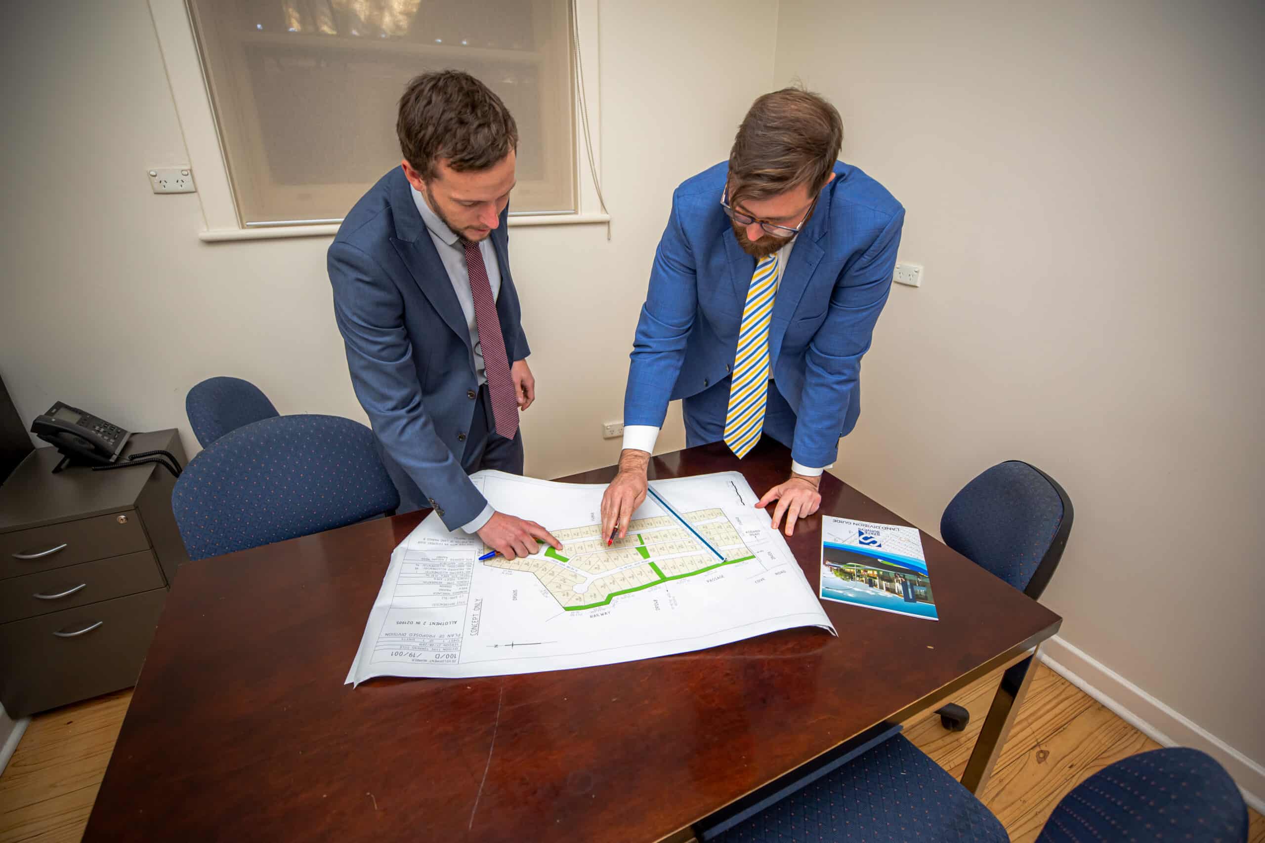
In order to undertake a subdivision, you are required to lodge a Development Application. State Surveys will review the Development Plan for the relevant Council area and then advise you of the best way to achieve your land division goal. This will involve our team preparing a land division plan depicting how many new allotments are being created as well as any necessary easements.
Each Council Zone and Policy Area may have differing requirements for subdivision resulting in the need for specialist advice in order to ensure your proposal is compliant. However, if your subdivision plan doesn’t meet the relevant quantitative provisions, there may still be merit in the proposal based on the surrounding land division pattern. This will be discussed early in the process, ideally at the preliminary planning stage.
In addition, the subdivision of land in Adelaide will require investigations for Sewer and Water connections to each site. This is a critical part of any subdivision, as careful planning can result in significant cost savings or highlight the anticipated costs for non-standard connections. Water and Sewer main extensions are not uncommon and can add thousands of dollars to a subdivision, significantly affecting the feasibility of a project in many cases. State Surveys can provide this important subdivision information upfront and work with you to develop an appropriate strategy to mitigate these costs. This may involve undertaking a Community Title Division.
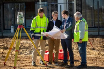
Cadastral Surveying
Once your residential land subdivision has been approved by the Council, State Surveys will then need to survey and mark the new boundaries.
This may require the demolition of the existing property or alterations to an existing building if it is to be retained. Survey markers such as metal pins, survey pegs or masonry nails are placed on the site to provide identifiable points that define the new boundaries of your land. Once this has been completed, you will receive a final land division plan nominating the new boundaries which can be lodged at the Lands Titles Office to work towards creating your new Certificate of Title.
Conclusion
In summary, the subdivision process can be relatively smooth, provided the correct advice and guidance is provided early in the process. Every subdivision is unique and every site has its own dynamics to contend with. State Surveys have professional Town Planners and Licensed Surveyors available throughout your subdivision to assist and provide professional guidance and assistance as the need arises. By utilising our extensive knowledge and skills, we can often achieve subdivision approval quicker than our competitors. For a confidential and no-obligation appraisal, please do not hesitate to contact Graeme Gibson and Nick Edwards at planning@statesurveys.com.au